Smart Retrofitting: A digital workflow process for building asset management (Project No: 10065745)

Background
This project is one of the funded SBRI – Net Zero heat and power upgrades for demand reduction funded competition. It aims to create a cost-effective, accurate and replicable solution for upgrading building asset portfolios.
The project will scope and de-risk the approach for a single building archetype, schools, using scalable methods across broader building portfolios.
It will do this by combining three different proven approaches in a novel way:
1) Time-series environmental monitoring:
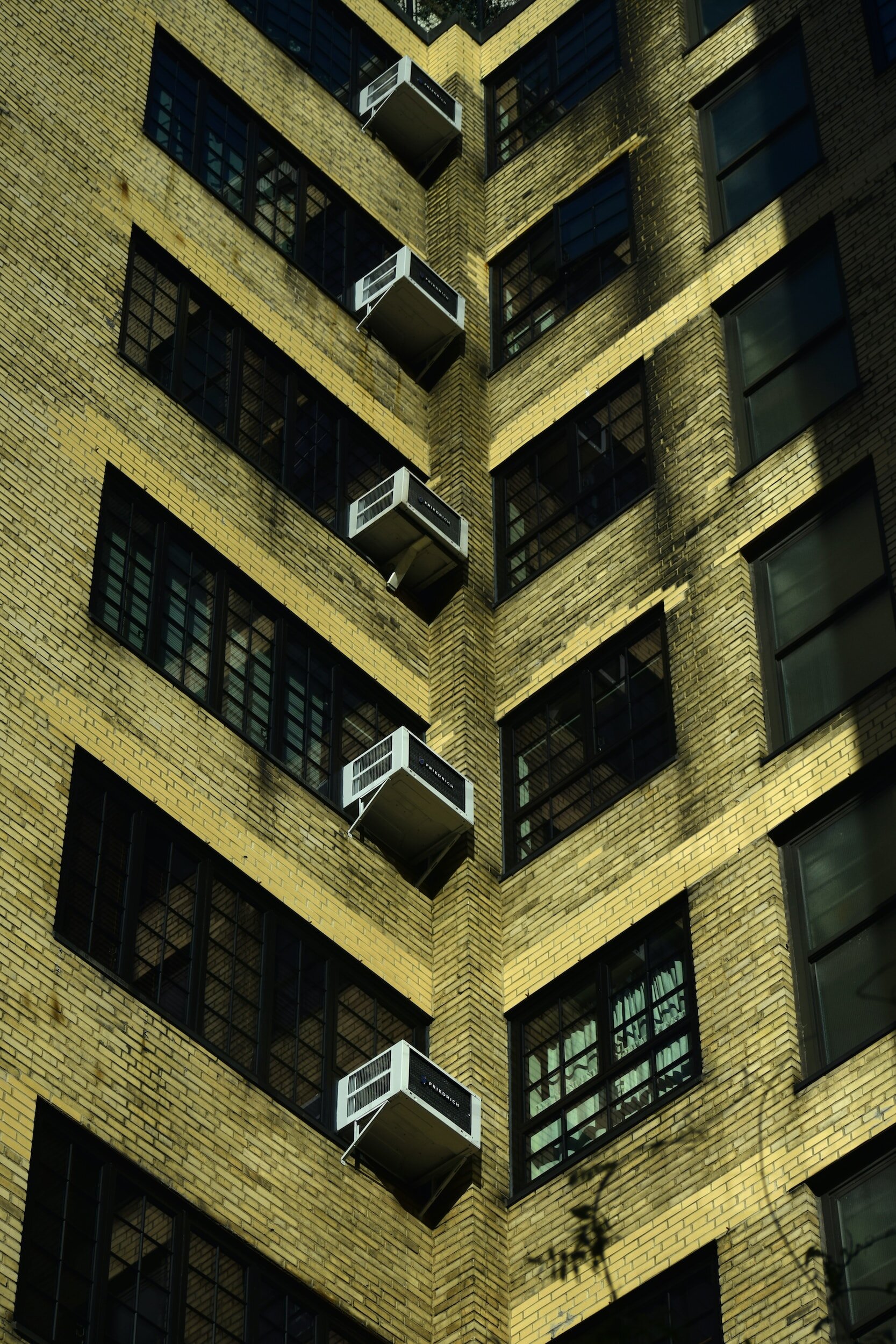
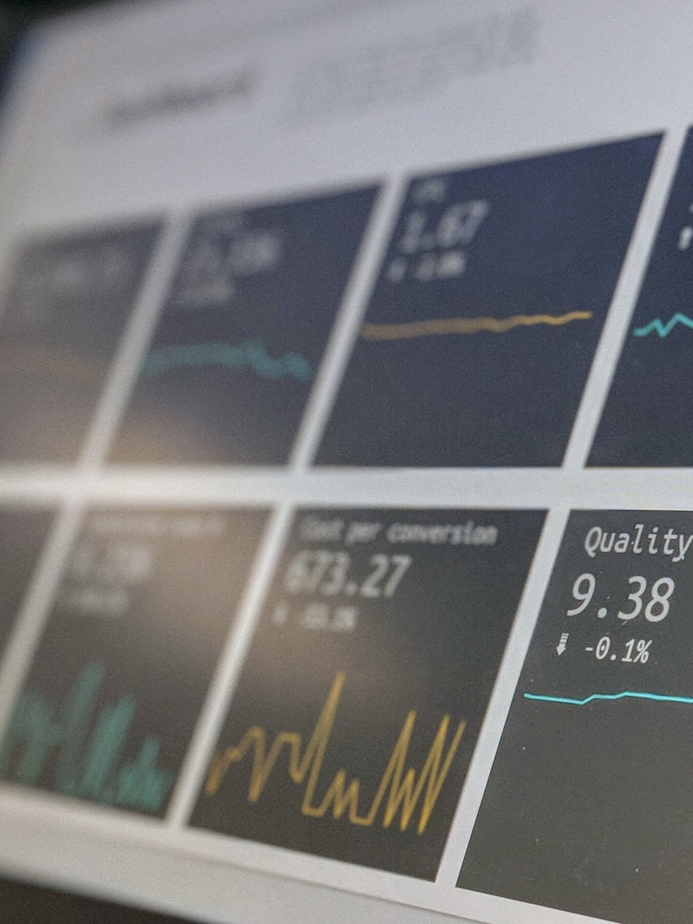
Environmental monitoring is a well-established method for gathering insights about building performance. This project will collect data on room temperatures, humidity, CO2, particulates, and the external environment. BSRIA has extensive expertise in monitoring the internal and external environment and using its expertise to derive insights into building performance.
A powerful insight for this project will be a detailed understanding of the internal air quality (IAQ), how it varies throughout the building, and how it differs from the external air quality. Then using the detailed LIDAR geometry, understand with detail and accuracy why the conditions are the way they are and how they can be improved. The scope of the funding call focuses on energy and carbon reductions, but these cannot be decoupled from IAQ. The headline aim of this competition is to accelerate the shift to a net zero economy by developing and testing scalable service propositions. The shift to net zero requires improving building performance outcomes by reducing the energy needed to make a space fit for purpose. The emphasis of this project on IAQ is an integral part of reducing energy demand and creating scalable solutions to net zero.
Air Quality Index: How does it relate to indoor air quality, and why should you measure it?
The quality of the air we breathe impacts all of us, and given that we spend, on average more than 90% of our time indoors, poor IAQ can affect occupant concentration, productivity, and physical and mental health. Contaminant sources from building materials or human behaviour indoors can make the indoor air 8 to 10 times more polluted than the exterior air, according to the World Health Organisation (WHO).
AQI indicates the pollution level in the air of five of the most common air contaminants of interest. Many countries have their contaminants of interest, index points and boundaries between index points. As defined by DEFRA, the contaminants of interest in the UK include Ozone, Nitrogen Dioxide, Sulphur Dioxide, PM2.5 (particles of 2.5 µm or smaller) and PM10 (particles of 10 µm or smaller).
The methodology for establishing AQI in the UK uses a 10-point scale from 1 to 10, with each contaminant having different concentration ranges for each index value. AQI values are calculated individually for each contaminant, with the highest individual AQI reported as the overall value at the measurement location regarding the contaminant of concern.
If an index value of 3 was reported using the UK methodology for AQI based on measurements of PM2.5, the concentration range of sampled air is 24 to 35 µg/m³. Subject to the actual measured values of PM2.5 and any subsequent targeted improvement actions being implemented, the concentration of PM2.5 may reduce, but the AQI index value may remain at 3.
To maintain a low AQI or reduce an indoor AQI value focusing on PM2.5, the outdoor AQI must be low or incoming air must be effectively filtered. Indoors there must be an effective cleaning regime implemented practically and appropriately.
2) Survey imaging using LIDAR (light detection and ranging):
LIDAR can create 3-D representations of spaces by sensing the distance to various points on the image. In a few hours, it can survey a building in a degree of detail that would take weeks using conventional methods. A LIDAR survey can size every room, including the location, size, and material of apertures, pipes, ducts, windows, and sockets. It also contains a thermal imaging camera that overlays heat loss characteristics for each surface.
In Phase 1, we will scope the software development needs in Phase 2 to convert the LIDAR data more easily to a BIM model capable of generating internal layouts, for example, creating a template for pre-cut panels and digital manufacturing and reducing labour, reducing time on site. This could include industry partners.
The LIDAR sensor includes an infrared camera for a thermal imaging survey. This gives not only the geometry of the building but the heat loss characteristics as well. This Phase 1 study will scope how this can be used to automate and interpret interactions with BSRIA sensor locations for more accurate performance monitoring.
LIDAR can create a 360˚ virtual reality tour of the building in 4K resolution. This can be input into WP4 to support designing visualisations and communications packages for building portfolio owners to understand and virtually experience potential changes' impacts on their buildings. Phase 1 will scope the needs pilot virtual reality work package in Phase 2.
A core strength of the LIDAR approach will be creating a digital catalogue of the building. The sensor can read colours and identify materials. The training needed for operating the camera is far less than those of conventional survey techniques. This reduces surveying a non-specialist task that can become standardised and replicable across building portfolios. It creates a digital catalogue for one building and a workflow that can be consistently applied and compared across multiple buildings. It uses cloud-based software that increases processing times.
Once the model has been created and matched to BSRIA sensors, it will create a scientific conclusion about the performance of the building, grounded in detailed measurements of the space geometry rather than based on a benchmark or the subjective measurements of a manual survey. Compared to several weeks, the LIDAR survey would take hours for a manual survey of equivalent detail, vastly reducing costs. It effectively enables retrofitting the digitally based workflow available almost exclusively to new builds through BIM. This project will bring the benefits of BIM to retrofit.
3) Smart building asset management:
Data from 1) and 2) are combined for a Digital Twin (DT) style asset management approach used for new builds and to create a real-time replicable digital workflow for retrofit projects. It can test and rank performance improvement options based on a scientific determination of the building but at a fraction of the cost of current onsite approaches and far more accurately than remote ‘big data’ approaches.
This approach can be used to help Councils to identify areas and buildings that are best suited to this combination of remote sensing and LIDAR. It can bring a ‘building passport’ approach to portfolio management by creating interactive building models. Rather than an EPC/DEC-style recommendations list, it will create a more dynamic visualisation of the actual impacts of measures based on past performance and the exact geometry of the building.
This project will create a methodology and a platform for the data captured from the monitoring and lidar sensors and interpret them as a BIM model. It will then transform this into a form that people can use to make decisions about their buildings. Phase 2 will include a website to help portfolio managers categorise different aspects of the data, like the Local Authority toolkit. In phase 2, common data standards for open source and interoperability will be adopted to help improve and provide guidance and recommendations for sharing better quality data and understanding processes and information flow.
Our proposed solution in phase 2 is a single hub of real-time trusted asset data/information that connects disparate data feeds to deliver transformational performance improvement and is cost-effective. We believe that our solution will deliver the following:
· Drive asset excellence & open standard.
· Reduce the cost of delivering retrofitting.
· Minimising risk for unplanned maintenance.
· Support better decommissioning.
· Help schools/users understand how best to manage the delivery of net zero carbon in buildings.
· Manage asset information better.
· Drive work efficiency.
